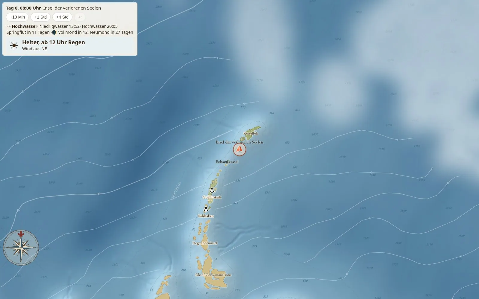
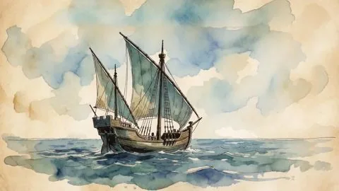
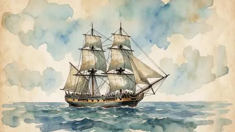
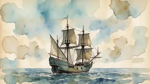
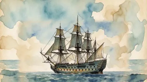
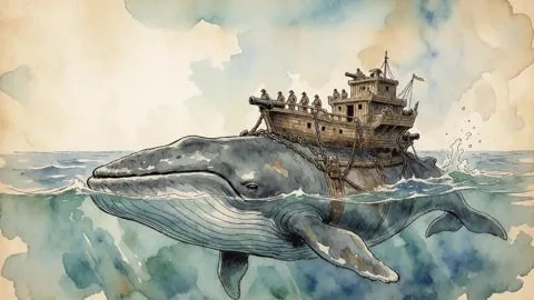
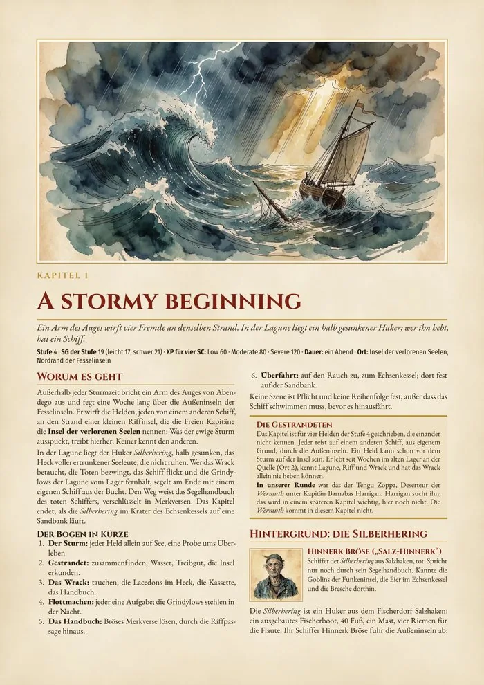
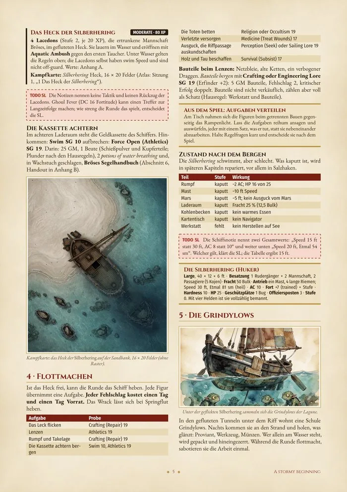
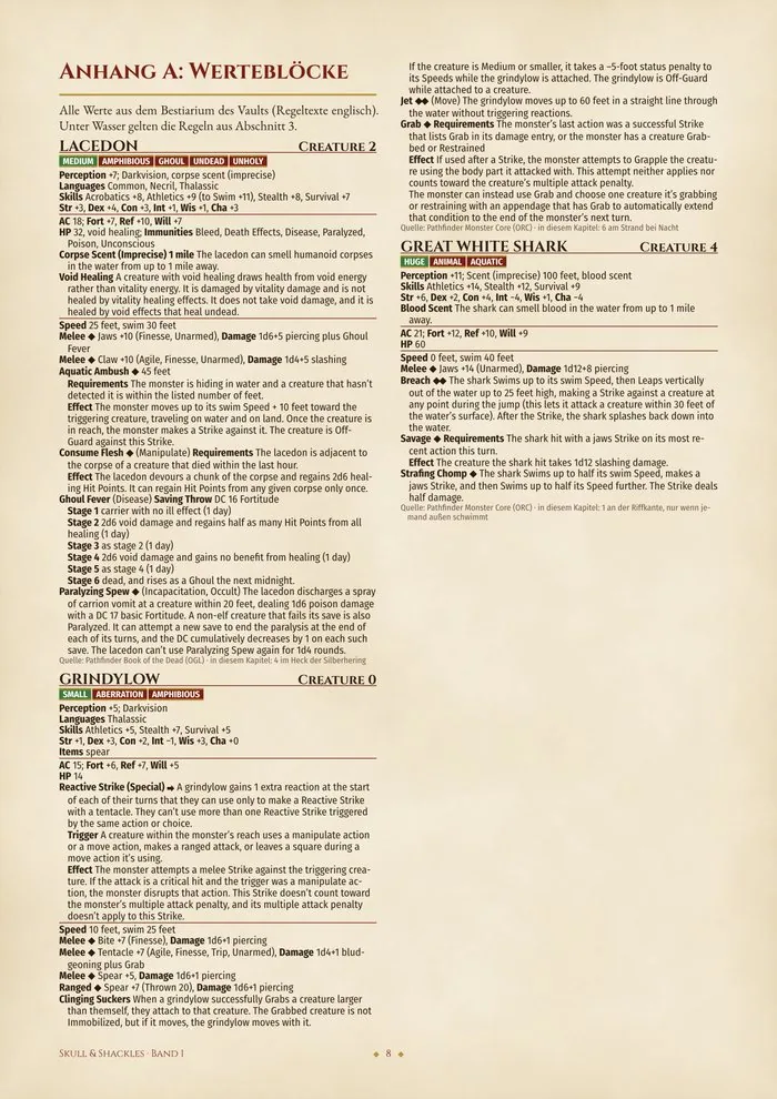
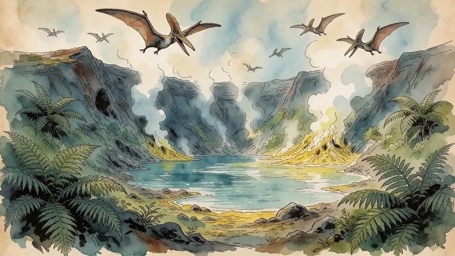
A Whole Open World of Piracy and Heroism
A living sea, built on the official Pathfinder setting of the Shackles. Whether you want to run a headhunter adventure or a "brave-new-world campaign", stay adjacent to official layouts and lore for the easy opportunity to splice in official Paizo adventures, while running your own story, or following our published adventure paths.*
We offer all the tools you need as a GM:
- Weather, tides, cargo and ship tracking. Storms that push you off course, tides and moon, hold and hull in the log.
- Optional foraging and hexcrawl. A hex grid on every island and real travel times for the landing party.
- A detailed world map with player export. Fog of war hides what the crew hasn't seen; the players' view exports as a picture.
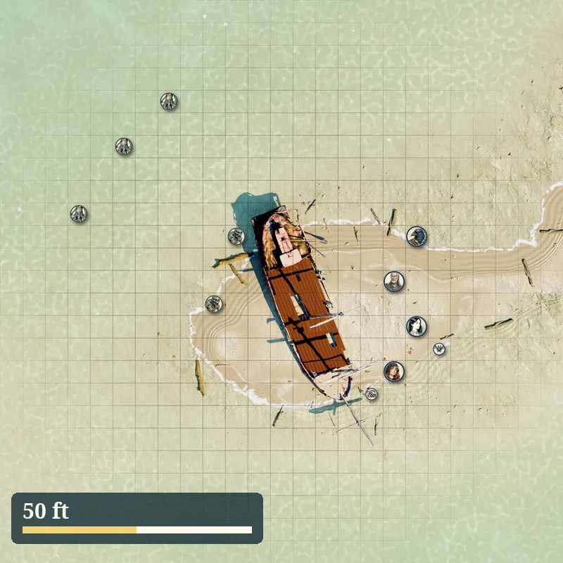
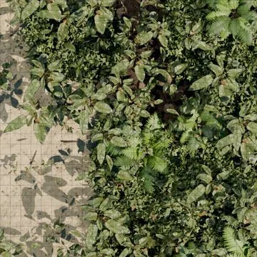
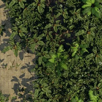
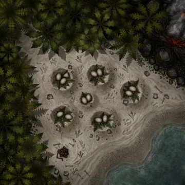
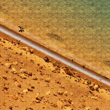
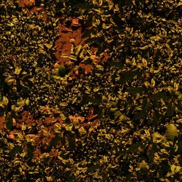
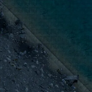
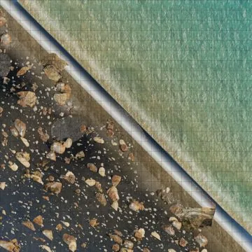
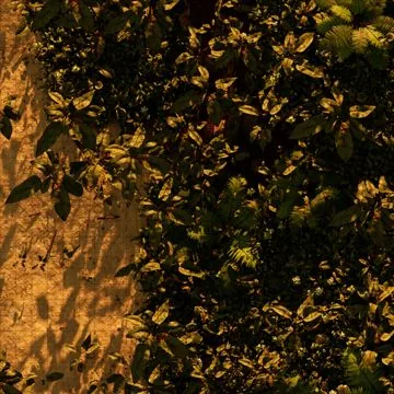
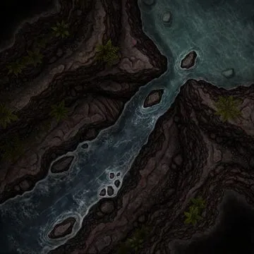
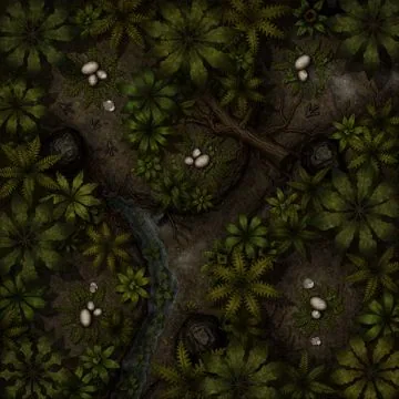
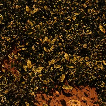
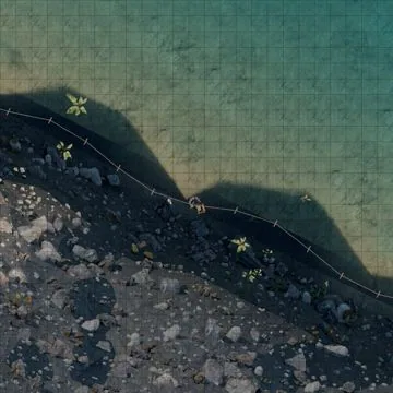
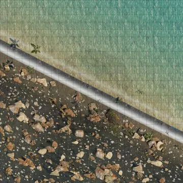
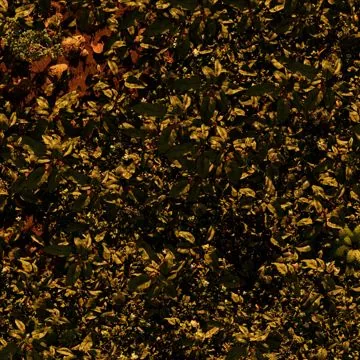
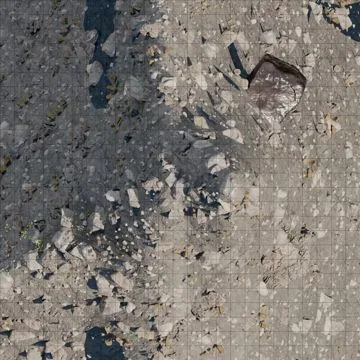
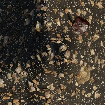
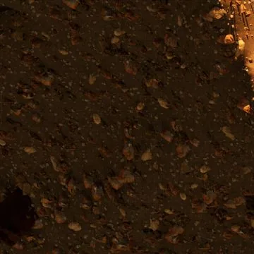
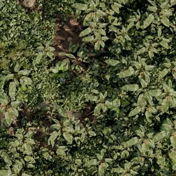
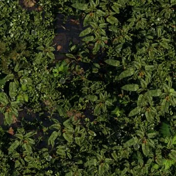
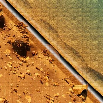
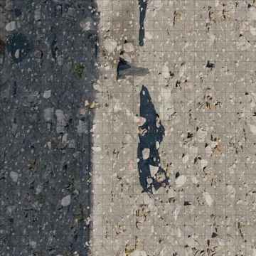
- Hundreds of battle maps. 120+ maps in four lights, with and without grid, plus 20+ Atlas VTT scenes.
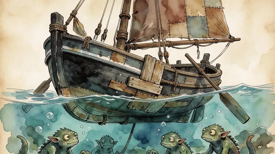
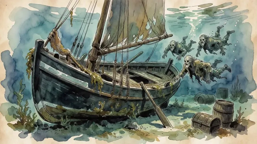
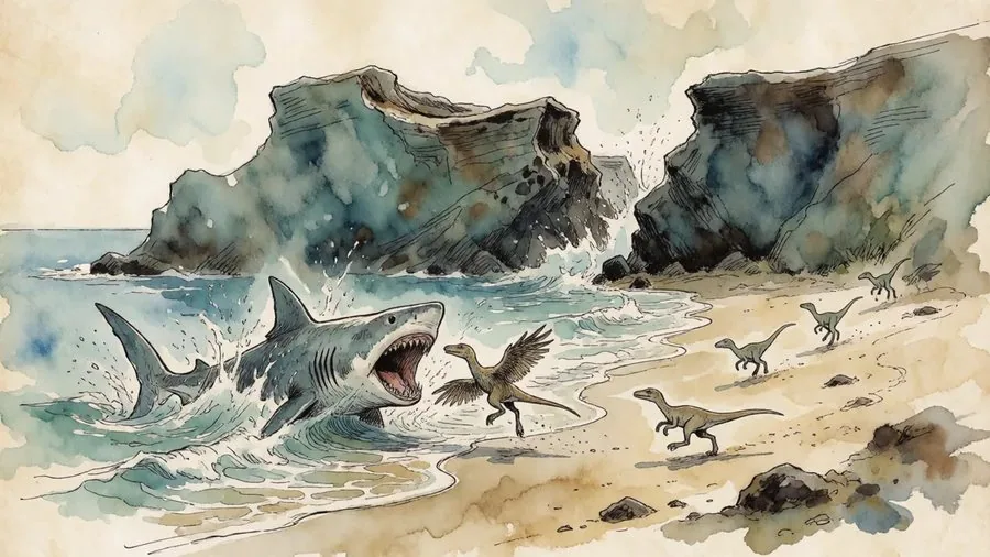
- NPCs, item cards, handouts, art. 140+ NPCs, 30+ item cards, 10+ handouts, scene paintings and portraits.
All spread across a browser app, an Obsidian vault, PDFs, and Atlas VTT packages. Whatever format you need, whatever parts you want to use: we've got you covered.
Every Nautical Term Explained
Leeward, heave to, weather gage, careen. Life at sea has its own language, and most tables don't speak it. You don't have to look anything up: every term comes with a short explanation and a line you can say out loud at the table.
Leeward
The side the wind blows towards.“Spit to leeward, not to windward!”
Heave to!
Stop the ship. Also an order to another ship.“Heave to, or we fire!”
Weather gage
Being upwind of the enemy, so you choose the fight.“We have the weather gage, she has to come to us.”
Careen
Lay the ship on her side on a beach to clean and seal the hull.“We careen her in the bay and scrape off the barnacles.”
560+ terms in ten chapters: the ship, rigging and sails, crew, sailing and navigation, sea and weather, naval combat, port and trade, landfall, commands and calls, and sayings. The app uses the same words everywhere.
True to Scale, Down to the Last Fathom
The beach is fifteen minutes away. Next session it's an hour. The island was a day's walk across, now it's three. Most maps are drawn to look good, not to be measured, so the GM invents distances on the spot and then has to remember them. The players notice, and the world stops feeling real.
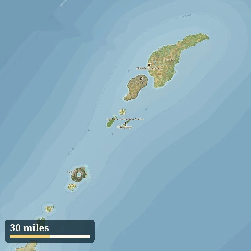
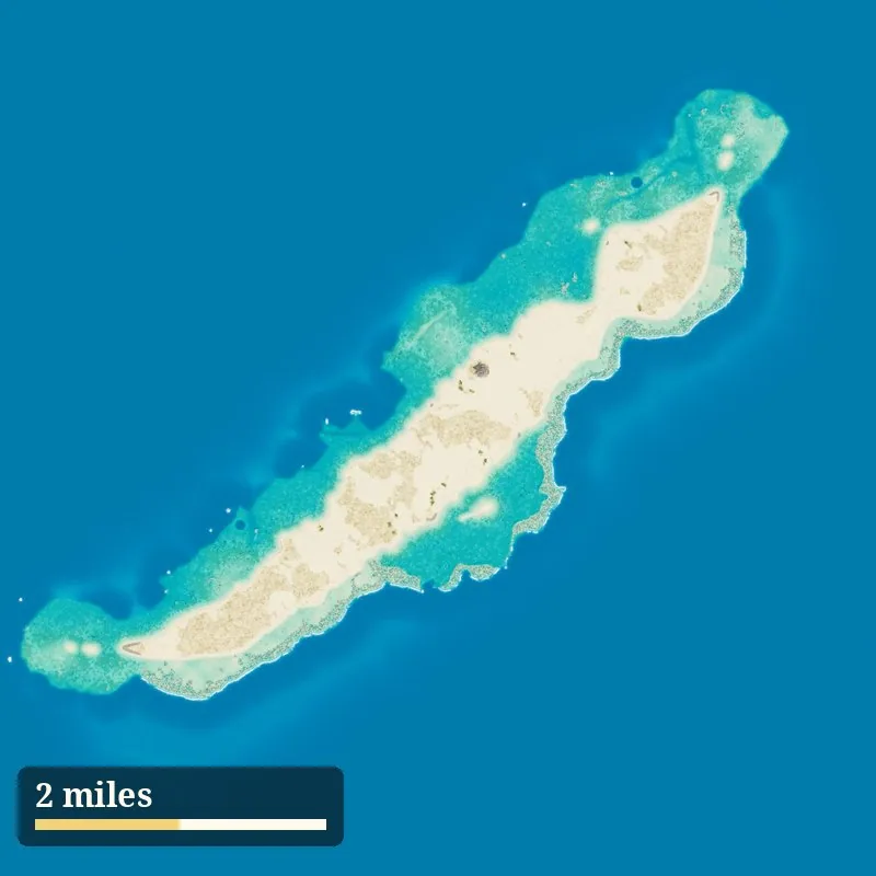
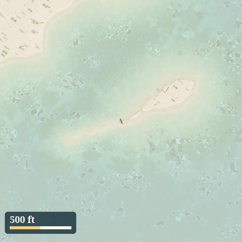
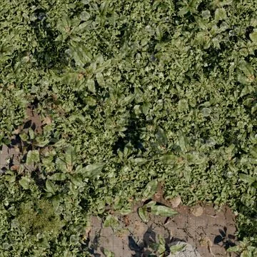
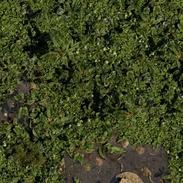
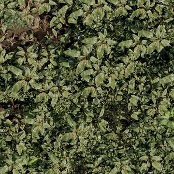
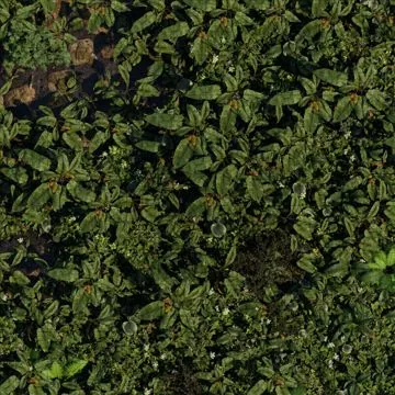
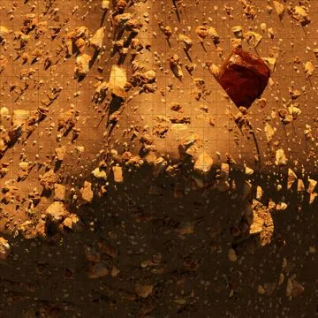
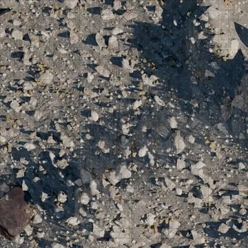
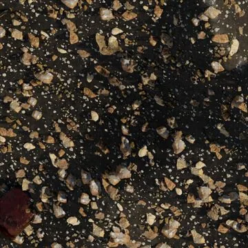
We fixed this at the root. Every sea chart, island, aerial view and battle map in the Pirate Sandbox shares one coordinate system, true to the foot. Ask how far it is, and there is one answer, every session.
Scroll down and dive in: from the whole archipelago to a single 5 ft square, in one map and one browser tab.